Digital maps have now become a useful tool for many different fields. The role and task that digital maps need to perform is to most accurately represent digital data information on the national territory. And Map4D has successfully done that task. Clearly show information about Vietnam's territorial sovereignty and sovereignty over seas and islands. The Hoang Sa and Truong Sa archipelagoes belong to Vietnam.
Table of contents
ToggleActual situation of enterprises using digital maps without Hoang Sa and Truong Sa archipelagos
In the last few days, a "sensitive" issue has been raised when businesses use maps that are inconsistent with Vietnam's sovereignty. This incident caused controversy, anger and received much criticism from the public.
Fashion brands post false content
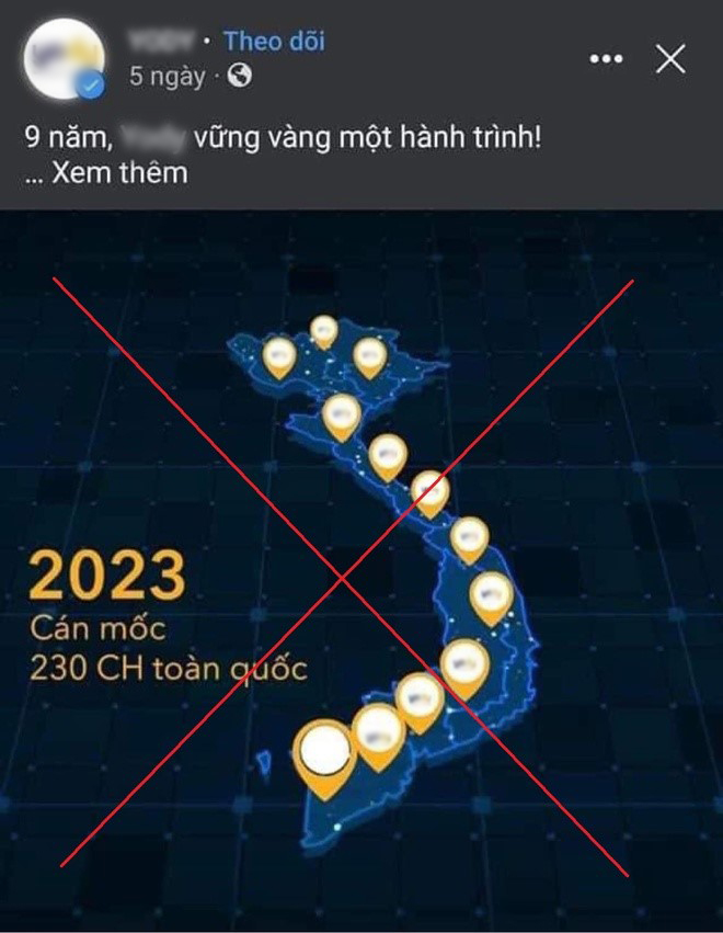
A successful fashion start-up brand in Vietnam was discovered when posting company content using a map image missing the Hoang Sa and Truong Sa Islands. That wrong action sparked a wave of "boycott" of the online community. Not only was it administratively handled, but it also seriously affected the brand, although the fashion brand apologized.
Tech car brands show misinformation
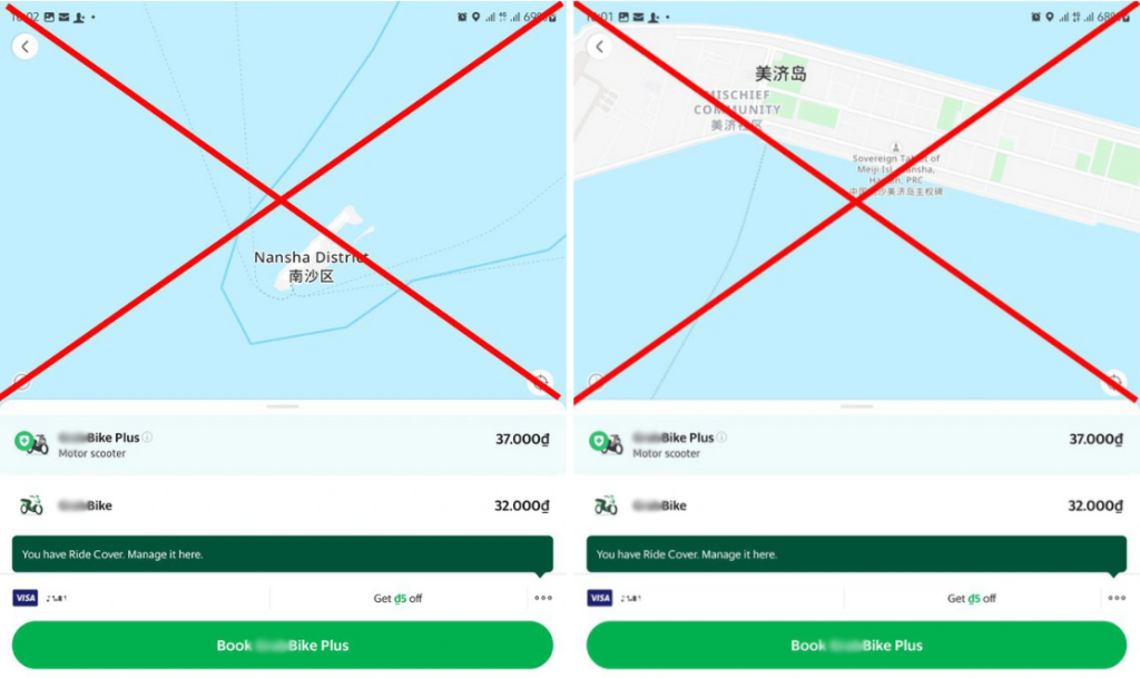
Following that wave of public opinion, a ride-hailing app brand has also been criticized by the online community. For showing false information about Vietnam's sovereignty over sea and islands. The brand has received feedback and apologized for the above issue. At the same time, must work closely with the authorities in accordance with regulations and are actively working with partners providing maps to handle and overcome.
The organizer of the international swimming tournament gave false information
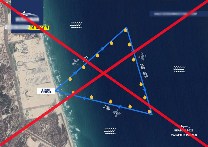
Next, a competitive swimming tournament organizer posted the location of the swimming tournament, sourced from private organizations providing maps, showing information infringing on Vietnam's territorial sovereignty rights about the Hoang Sa archipelago. Sa and Truong Sa. The organizer of the swimming tournament has been sanctioned. Must post information about administrative violations, make corrections, apologize for violations.
The origin of the problem of using digitized maps to misrepresent information about Vietnam's sovereignty over sea and islands
Lack of understanding of history and geography
The deviations in the map of Vietnam's sea and islands can be attributed to a lack of historical understanding. And the geographical position of Hoang Sa and Truong Sa archipelagoes. Being a Vietnamese citizen, a Vietnamese business or a foreign enterprise operating in Vietnam must be knowledgeable about the history, culture and geography of the country in which they live.
Subjectivity and lack of updating
It is necessary to accurately update the latest information on the territory and sea and islands of Vietnam. Enterprises need to check and review the correct information before doing business and promoting the business.
Use a foreign map supplier
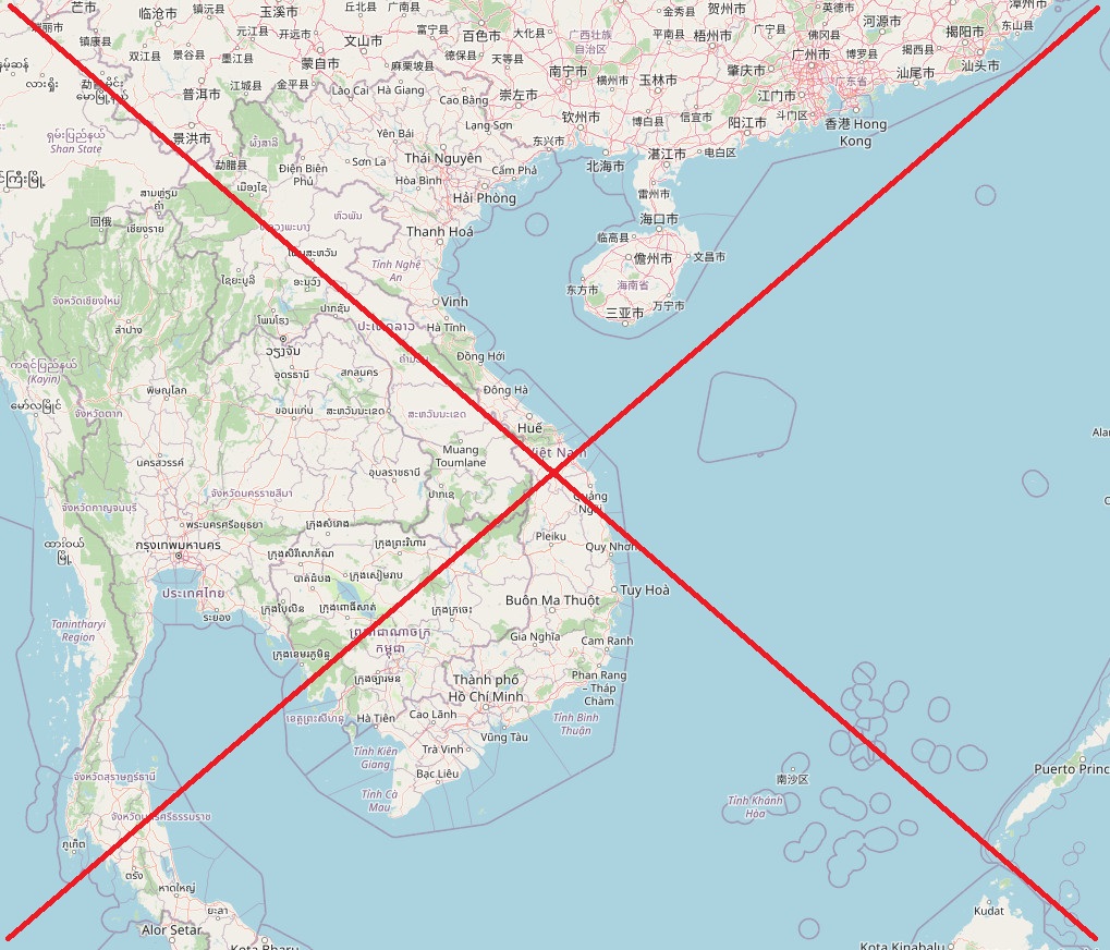
This is the most important thing to pay attention to. Businesses often use long-established foreign digital mapping platforms. Because the customer coverage is too wide. However, those platforms have servers located overseas. And the update of information is not correct and irregular in each specific location area. Leads businesses operating in Vietnam to use that data. Affects sensitive national issues. Misinformation about Vietnam's sovereignty over sea and islands in the East Sea. Create incidents, controversies affecting the parties involved.
Map4D – Affirming Vietnam's territorial sovereignty
Map4D is the current remarkable and advanced pure Vietnamese map platform. Map4D digitized map developed by IOTLink Co., Ltd. becomes a professional digital mapping platform. Provide users with an enjoyable and effective user experience.
Map4D Vietnam with 2D, 3D map backgrounds, integrated 4D time-dimensional technology. Provides detailed information about locations across the country with a high degree of accuracy. Make it easier for users to find and discover places.
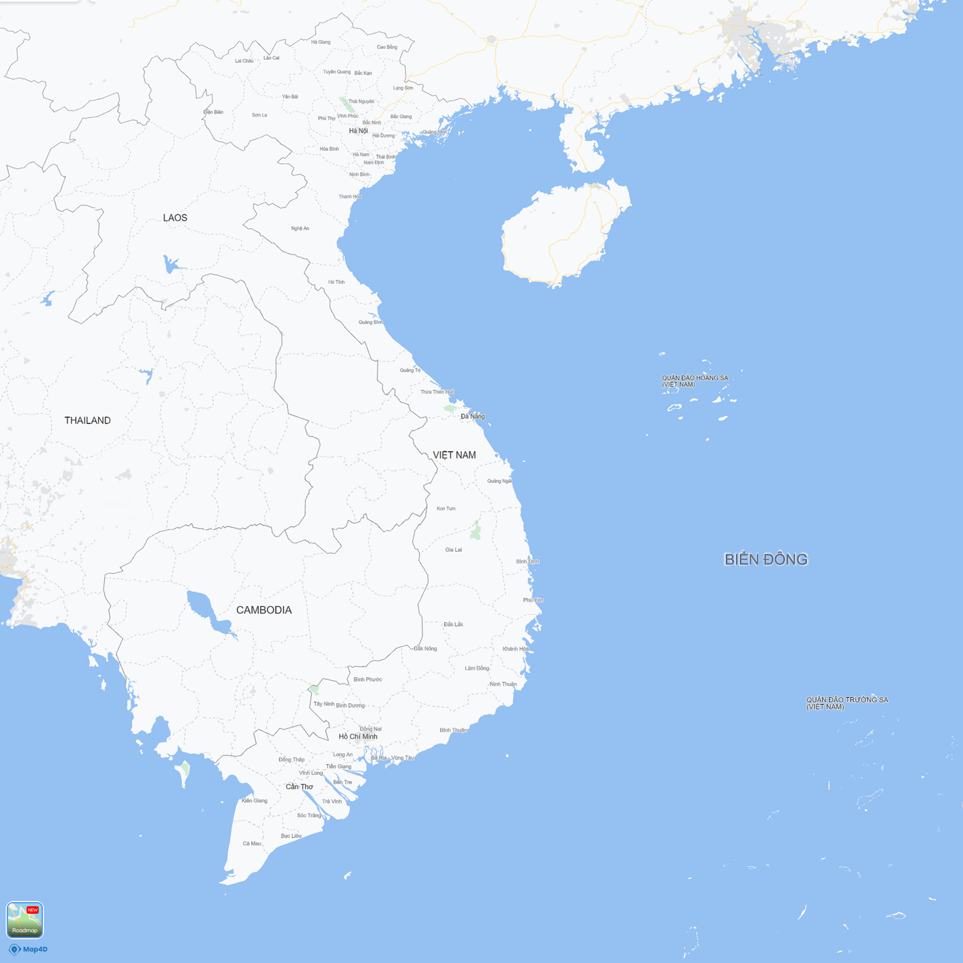
With support from the regularly updated features of the digital map platform. It also plays an important role in ensuring national territorial integrity. Map4D digital map is always updated with the latest geographical, cultural and economic information of the locality. Ensure confidentiality, accuracy and integrity of data. Bring high accuracy about Vietnam territory information.
Firmly protect Vietnam's territorial sovereignty and Vietnam's sovereignty over seas and islands
Instead of using infrequently updated foreign maps. Then why not use pure Vietnamese map platforms? With lower cost, more complete and accurate updated data? Server located in Vietnam with higher security?

Please use the pure Vietnamese digital map platform. The pure Vietnamese map platform plays an important role in ensuring the national territorial integrity. The application of a pure Vietnamese digital map platform helps businesses quickly and efficiently collect and analyze information.
