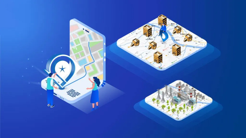
Map4D – A digital map platform developed and owned by a Vietnamese engineer, with data located in Vietnam. Bring high security and national security. Suitable for state management. Serving production and business for businesses and people in many fields. Such as e-commerce, tourism, construction, natural resources and environment, urban planning, agriculture, transportation. Provide a digital platform for digital transformation, smart city construction and logistics services.
>>> Experience now Map4D – Digital map of Vietnamese people
Map4D – The number 01 mapping platform in Vietnam. Realistic display, accurate to every detail
Table of contents
ToggleMap4D – The number 01 map platform in Vietnam
- Originated from the idea of a group of passionate CEOs. Wanted to contribute to the country since 2012.
- By 2016, a team of IT experts had been established to study the digital map platform.
- In June 2017, IOTLink Company was established.
- In 2018, the first 4D digital map platform in Vietnam was successfully developed. Set of SDKs/APIs – integrate applications on the digital map platform.
Developed on high-tech platforms, integrating SDKs/APIs. Bringing high security, Map4D product from IOTLink brings high efficiency and accuracy in data processing. Bring ease of operation to users and developers.
The data on Map4D is automated by the system. Update quickly and accurately against the actual change. From there, it opens the direction of 3D marketing application for all industries.
Able to integrate many applications into one place, the 4D digital map is suitable for state management, serving production and business for businesses and people in many fields such as e-commerce, tourism, construction. construction, natural resources and environment, urban planning, agriculture, traffic; providing digital platforms for digital transformation, smart city construction and logistics services.
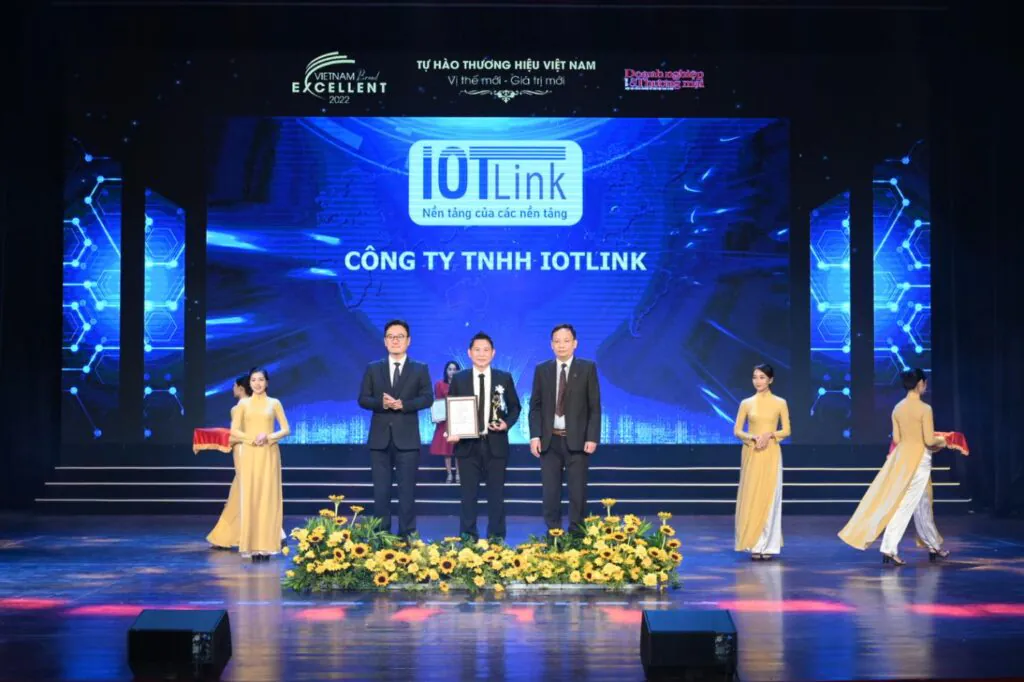
Second Prize in the National Digital Transformation Solution Search Contest 2020
IOTLink was awarded the Second Prize of the National Digital Transformation Solutions Competition 2020 (Viet Solutions 2020) organized by the Ministry of Information and Communications.
Currently, Map4D products have been granted a copyright registration certificate by the Copyright Office (Ministry of Culture, Sports and Tourism). This solution has also been appraised by the Center for Borders and Boundaries, Department of Surveying, Mapping and Geographical Information of Vietnam.
At the launching ceremony of the Map4D digital map platform organized by the Ministry of Information and Communications, Deputy Director of the Department of Informatization, Ministry of Information and Communications Nguyen Trong Duong said: “Businesses use Google Maps to do business. Businesses like logistics businesses will have to pay Google a large amount of money each year to be integrated into Google Maps. In addition to logistics businesses, there are many other businesses and every year we pay thousands of billions of dong…”
IOTLINK MAP4D EASY
Trust that 4D Maps can achieve even more. As can meet the digitalization of smart tourism, the digitization of urban activities. Mr. Duong encouraged: “IOTLink Please continue to invest in research to develop this platform in many different directions to serve the digital transformation, put this map into many applications not only for planning and navigation but also for building smart cities. ".
Mr. Do Quang Vinh – Chairman of the Board of Directors of IOTLink Company said: “Map4D is where databases such as geographic information system (GIS), land information system (LIS), transportation, tourism, agriculture, national security, telecommunications, construction, … are connected, shared, and displayed in the most optimal way. This is a necessary digital foundation in the digital transformation process. And smart city deployment.“
In addition to being a digital map, Map4D is also a support tool. As a solution to manage infrastructure, urban areas and other smart applications. Besides, Map4D also helps analysts and investors. It is possible to assess the current status (through 4D time dimension) of the city, residential area, project. From there, make a plan to build or plan a place in the future.
In the near future, IOTLink hopes to expand. Cooperate to provide this 4D digital mapping platform for the digitization process. Building a smart city of the Government and logistics services in Vietnam. As well as services related to digital maps for businesses in need.
