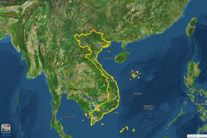
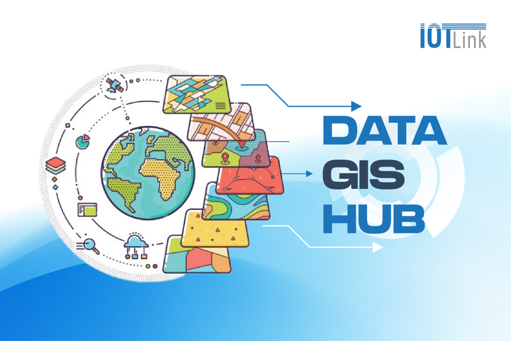
Data Gis Hub is a feature of Map4D serving a shared digital map platform. Meeting the needs of projects of provinces/cities, businesses. Provide effective, cost-effective solutions.
3 main components of GIS
Data
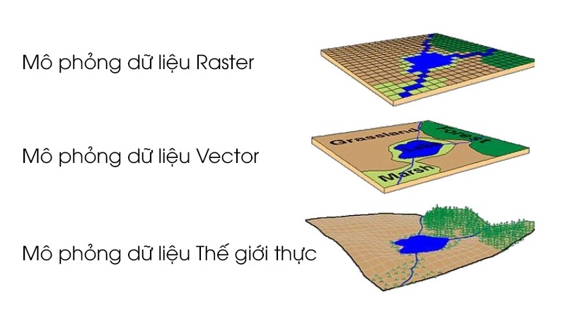
GIS stores data as layers. Each dataset has an attribute table that stores information about a feature. There are two types of GIS data. It's raster and vector:
-
Raster
Raster stores data in rows and columns. Rasters can be discrete or continuous. Example: Road data, temperature data, coverage representation and image as pixels.
-
Vector
Vectors are points, lines, and polygons with vertices. For example, clear street contours and administrative boundaries are often vectors.
Hardware
Hardware used to run GIS software or some peripherals. Be it a powerful server, a mobile phone or a personal GIS workstation. The elements required in GIS can be dual monitors, additional memory and sharp graphics processing cards.
Software
GIS software specialized in spatial analysis. By using the math in the map. Is a combination of geography with modern technology, used to measure and quantify.
5 important functions of GIS
Data collection
Data collection is the hard part of building a GIS application. The data is collected from many different sources such as measurement data from the field, data from various types of maps, statistical data, etc.
Data manipulation
As the data collected from many sources has different formats and there are cases where the data types require to be transformed and manipulated in some way in order to be compatible with the system.
Data Management
It is an important function of all geographic information systems. Geographic information systems must be able to handle different types of data, while effectively managing large volumes of data with a clear order.
Data analysis
GIS provides simple search, question and answer, querying, and powerful spatial data analysis tools to provide information quickly, accurately, and to support decision-making. managers and planners.
Data display
GIS allows good data to be displayed in the form of maps or charts. Besides, it also exports attribute data to excel tables. Generate statistical reports, 3D models and other data.
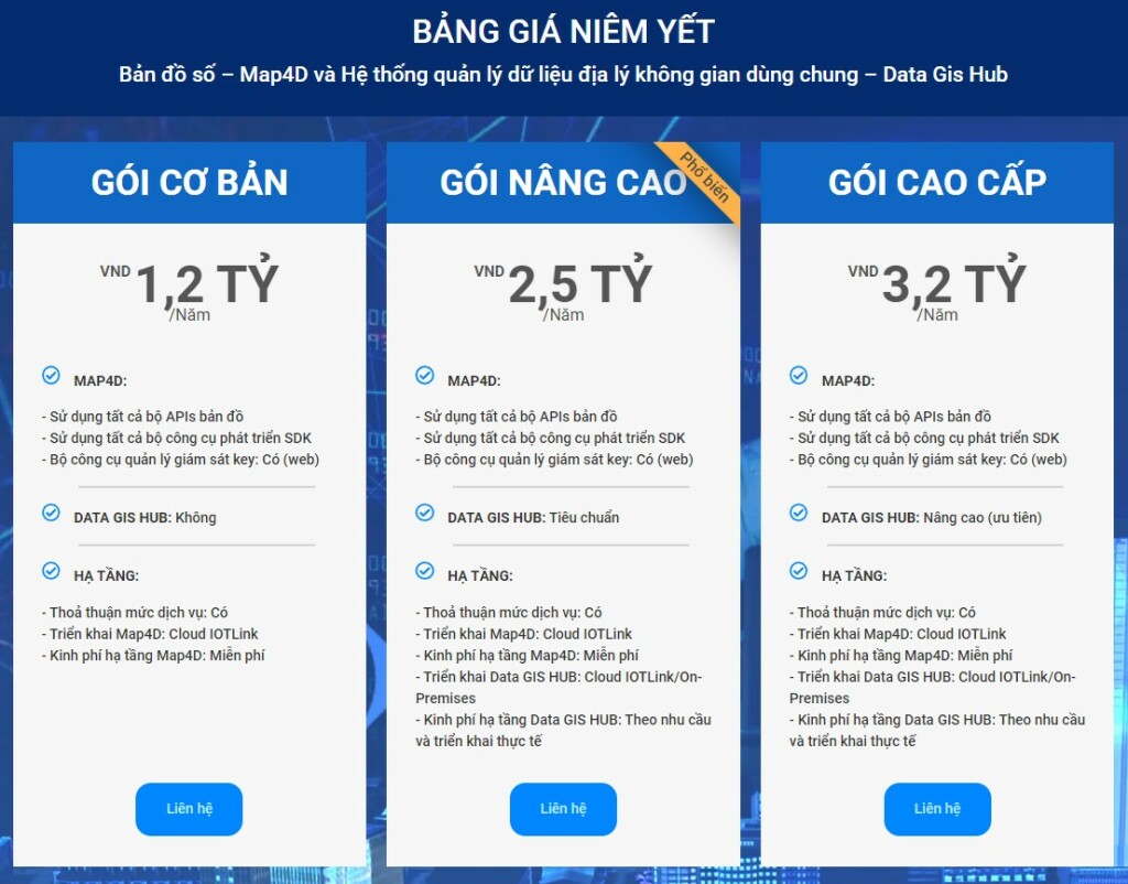
Efficient solution Data Gis Hub Map4D
Map4D is ready to replace Google Maps
Includes 3 flexible packages BASIC – STANDARD – ADVANCED all owned
| Stt | Basic | Standard | Advanced | |
| 1 | 13 sets of APIs | ✓ | ✓ | ✓ |
| 2 | 5 sets of SDKs | ✓ | ✓ | ✓ |
| 3 | Access Key | ✓ | ✓ | ✓ |
A shared geospatial data management system – Data Gis Hub
Includes 2 flexible packages STANDARD – ADVANCED include
| Stt | Standard | Advanced | |
| 1 | Geographical portal | ✓ | ✓ (prioritize) |
| 2 | Public lookup map & thematic map | ✓ | ✓ (prioritize) |
| 3 | Connect, sync, share open data, collect data | ✓ | ✓ (prioritize) |
| 4 | Reporting, analysis and decision support | ✓ | ✓ (prioritize) |
| 5 | Systems, users & groups, developers | ✓ | ✓ (prioritize) |
(Advanced Plan adds more features than Standard Package)
Deploying infrastructure services on Map4D
Includes 3 flexible packages BASIC – STANDARD – ADVANCED depending on the use needs of the departments, businesses.
|
Stt |
Basic | Standard | Advanced | |
|
1 |
Service level agreement | ✓ | ✓ | ✓ |
| 2 | Deploying Map4D | Cloud IoTLink | Cloud IoTLink | Cloud IoTLink |
| 3 | Map4D infrastructure costs | Free of charge | Free of charge | Free of charge |
|
4 |
Data Gis Hub Deployment |
Cloud IoTLink On-Premises |
Cloud IoTLink
On-Premises |
Cloud IoTLink On-Premises |
| 5 | Data Gis Hub infrastructure costs | ✓ | ✓ |
✓ |
>>> View details of Digital Map Service – Map4D and Geospatial Data Management System – Data Gis Hub