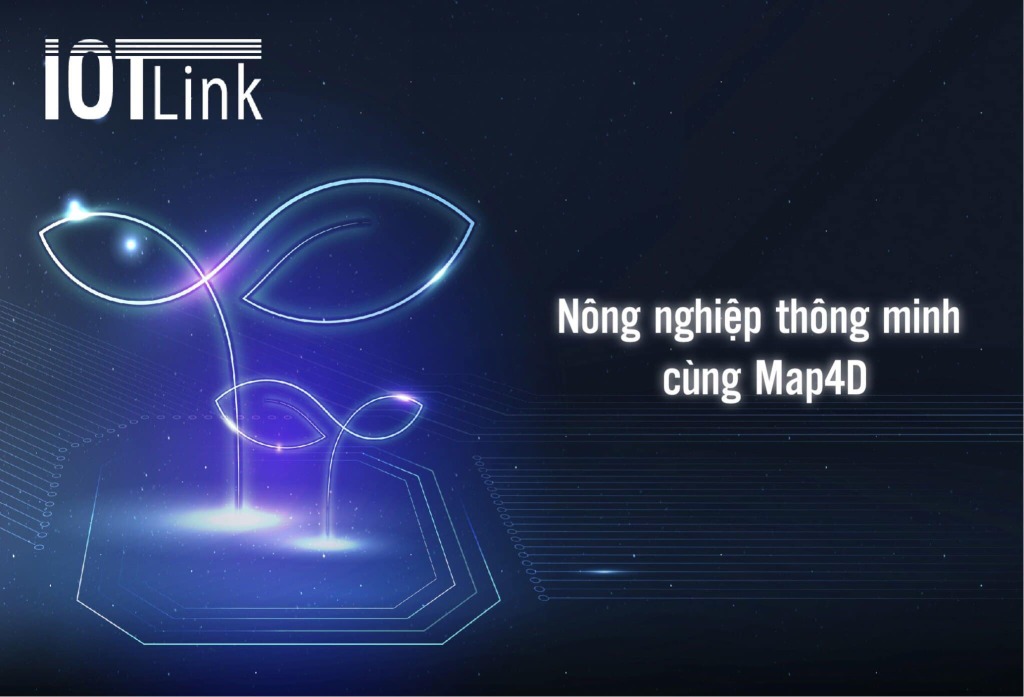
Map4D digital agricultural map integrated with modern technology. It is the foundation of technology application in agricultural development. It is an opportunity to improve production, reduce costs, save time and energy, and improve the quality of agricultural products.
What is Agriculture 4.0?
Agriculture 4.0 (also known as smart farming). It is the application of the achievements of modern technology to production. Such as the Internet, nanotechnology, robotics, biotechnology, lighting technology, digital maps, etc. Thereby changing production methods. Thereby improving the quality of agricultural products, environmental protection and sustainable development.
Constraints of farmers in the age of technology
Our country's agriculture is still facing many problems. The story of the repeated harvest of the crop, the loss of the price, and the repeated loss of the crop caused farmers to face many difficulties.
At the same time, farmers are also facing many obstacles and challenges in modern times.
Lack of knowledge about science and technology
Many farmers still do not have enough conditions, knowledge and skills to access and use technology in their agricultural production. This is a weakness that reduces the efficiency of agricultural production and the competitive advantage of farmers in the market.
High cost technology investment
In order to apply modern technology to their agriculture, it is necessary to invest high costs in new technologies. This is a big barrier and a difficult decision for people with limited financial resources.
Limit connections, expand
Because of the lack of knowledge and skills, it is difficult for farmers to access new information and technical resources from scientific experts, research centers, etc.
Difficulty accessing market and transportation
Sometimes because of poor facilities. Therefore, many farmers have difficulty in transporting products from the farm to the consumer market, difficult in management and sales implementation.
So what should farmers do to change and develop agricultural production? Which method will best support farmers?
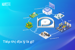
The role of Map4D in agriculture
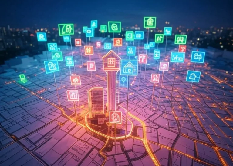
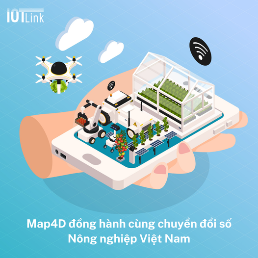
IOTLINK company has developed a solution for digital transformation of agricultural management using Map4D digital maps. This is a suitable technology platform, a premise in building digital agricultural maps. And gather database on crops, livestock and aquatic products.
Map4D application in agricultural development. It is an opportunity to improve production, reduce costs, save time and energy, and improve the quality of agricultural products.
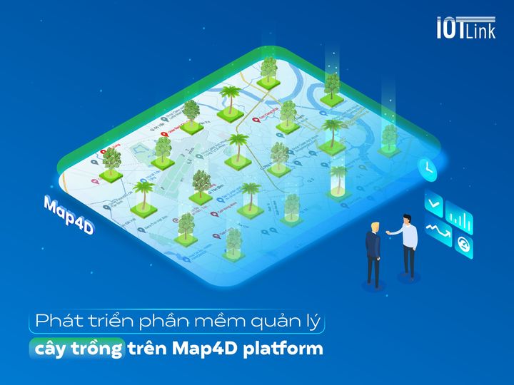
Proper management of arable land and cultivation
With Map4D digital agricultural map, it will show us the lands and fields (2D display, 3D visualization). From there, it is possible to distribute the cultivation areas for each type of soil suitable for the crop. Help agricultural units or farmers can plan. From there, make accurate decisions about how to manage, care for and harvest the crop.
Weather monitoring, irrigation control
Map4D provides regional weather data. With this feature of the map, farmers know the weather, climate, rain level, humidity, temperature, wind... From there, adjust the irrigation to suit the weather, avoid waterlogged crops, improve productivity.
Plant control, disease prevention
Digital agricultural maps help growers to track crop cycles, frequency and quantity of produce. As well as the amount of water, the amount of fertilizer spray. Monitor plant pests and diseases, avoid significant crop losses.
Manage farms, planting areas automatically
Map4D automatically collects, analyzes and synthesizes data. Help users make accurate decisions about how to manage and regulate activities on the farm.
With this advanced technology, farmers can know the number of crops grown on a particular area. Grasp the amount of good and bad plants. What is the distance between plants to ensure the best growth.
Besides, Map4D digital map technology can also be integrated with sensor automation devices. Completely help farmers reduce manual work such as watering, lighting, etc. Improve cropping efficiency.
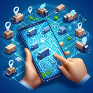
Increase output and supply chain productivity
Optimizing resources and resources, plants are better cared for, and yield is increased. Thereby providing farmers with quality products.
Map4D provides accurate positioning and suggests the shortest and fastest route. Manage the entire transportation process from the point of harvest to the point of consumption smoothly. Improve people's economic life.
Save cost and optimize time
Map4D digital agricultural map helps farmers save time and costs in farm management, irrigation system operation, pest control.
Map4D – Smart management agricultural map
Farmers are facing many challenges and limitations in the age of technology, needing a lot of support. And Map4D - Smart management digital agricultural map with the above outstanding features. Will help farmers overcome difficulties. Improve production productivity, improve farmer's life.