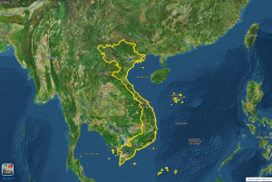
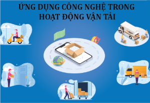
Government solutions with Map4D digital map platform provide solutions for digital management and transformation. Such as: urban planning, agriculture, forestry and fishery, population management, industrial clusters, tourism, passive telecommunications and electricity grid infrastructure, environmental resources, etc.
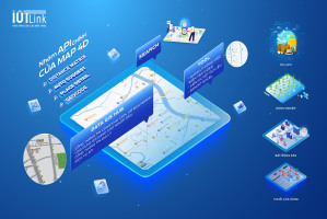
Map4D Platform
Solution
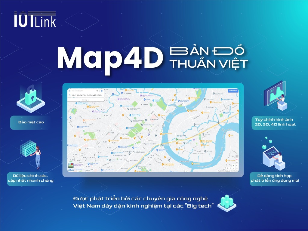
The 4D digital map is an update of the current state of the 3D digital map over time. Map4D GIS Platform provides APIs/SDK services for businesses and governments related to digital maps.
- Provide 2D digital map platform.
- Provide 3D digital map platform.
- Provide a 4D digital map platform (in time dimension) for application in urban planning.
- Ability to integrate data layers on the map platform.
Solution
- 2D Map (Mobile)
- 2D Map (Web)
- 3D Map (Mobile)
- 3D Map (Web)
- Auto suggest
- Address Resolution (Geocode)
- Place search
- Nearby Search
- Place detail (Place detail)
- Direction (Direction)
- Direction advanced
- Distance Matrix
- Distance matrix advanced
>>> Price list of APIs Map4D map service packages
Government solutions for urban planning
Problems
- Urban plans should take into account long-term development and meet the needs of future generations.
- Some urban planning suffers from a lack of management and supervision.
- Resource loss, waste of resources and safety issues.
- Effective management is required to ensure the sustainability of urban planning.
Solution
Data is an important factor, determining results in smart city development. Map4D constantly updates data and allows displaying information in the form of numbers and letters. And especially the 3D visualization in the time dimension.
- Sufficient information to evaluate the planning objects and areas from overview to details.
- Provide tools to systematize the planning database.
- Provide urban technical infrastructure management software.
- Provide information on planning and management of technical infrastructure based on GIS.
- Save time and money.
- Bringing high efficiency, avoiding the case of both building and fixing errors.
- Create many new services and make better use of the database.
- Towards the highest goal of prosperity, sustainability and good service to people's lives.

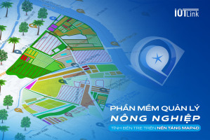
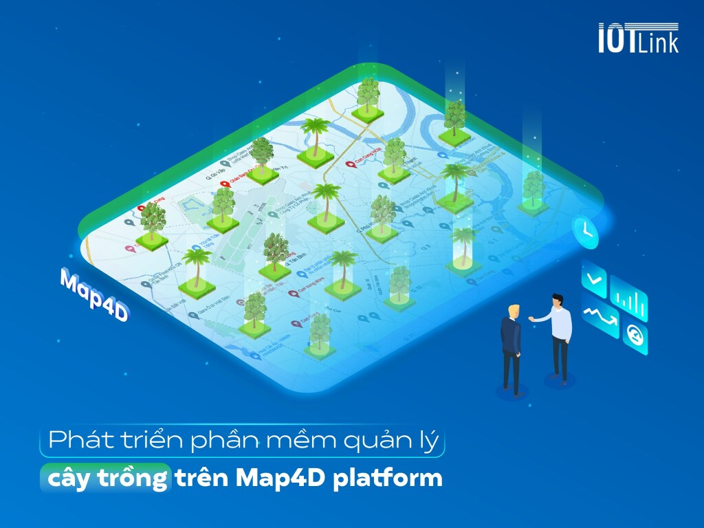
Government solutions in agriculture
Problems
- Agriculture is still facing the season of devaluation, the price will lose the crop, etc.
- Many farmers still do not have the conditions, knowledge and skills to access and use new technologies.
- High investment costs for new technologies.
- It is difficult to access new information and techniques from scientific experts, research centers, etc.
- Difficulty in transporting products from farm to market, managing and deploying sales.
Solution
- Agricultural mapping with full necessary database.
- Displays information about the basic managed object.
- Display of land plots of cropping areas on digital and satellite maps.
- Statistics on planting area of each cooperative, land plot, region, type of crop.
- Relevant reports on area, type, productivity, output, investment value, etc.
- Allows connection with many technology applications, serving management and operation activities
- Support effective agricultural planning, increase productivity, reduce time and cost
- Determine the environmental, climate and soil conditions of each area
- Fine control of real-time processes from harvesting.
- Pack and ship until it reaches the consumer.
Government solutions in tourism culture
Problems
- The rapid growth makes tourism culture become no longer quality assurance.
- The promotion of tourist areas is far from reality
- The quality of the customer experience becomes less appealing than it used to be.
- Tourism can consume local resources, including water, energy, and local materials.
- Multiple project management measures are required.
Solution
With diverse map data, technology integration, software linkage and continuous updating, Map4D meets the needs of smart tourism planning, management and development.
- Automate and modernize tourism resource management processes.
- Routing, linking utilities, areas… help tour operators create interesting tours
- Provide a system to look up tourist information and guide tourists.
- Allows the integration of new technologies such as: VR 360, Live Camera, AI camera, senser...
- Manage operations for and provide full functions to update tourist information, decentralize...
- Promoting traditional cultural-historical values by means of audio-visual, interactive multimedia.
- Diversify advertising forms suitable for many different audiences.
- Visiting the tourist area, interacting with 3D objects, automatic narration… arousing travel inspiration.

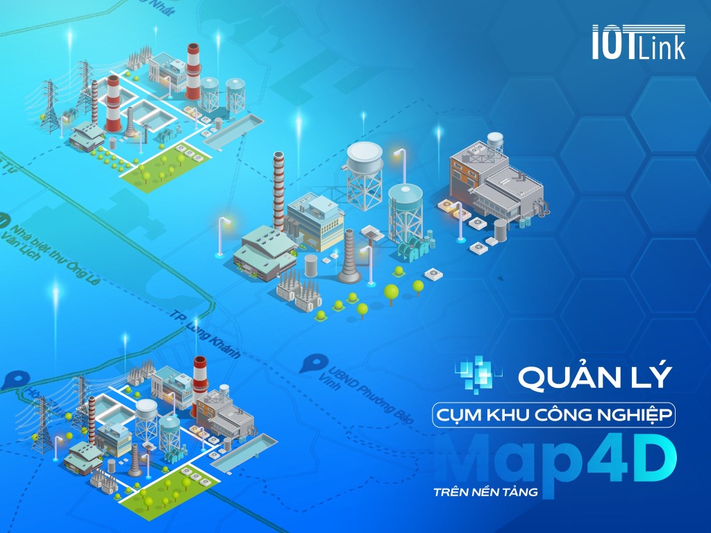
Management of industrial zones
Problems
- Large scale: many branches, factories spread over a large area, etc., without total management control.
- Multiple asset classes, distributed, are not the same.
- Inefficient and inaccurate information sharing between departments
- Drawing data does not match reality.
- Each object has its own process and maintenance time
- The specific differences of each cluster of industrial zones.
Solution
Map4D is a 2D, 3D, 4D digital map platform that helps businesses reproduce objects on the map accurately, intuitively and vividly.
For asset management, Map4D will develop applications that display detailed information about objects.
- Technical infrastructure management.
- Management of the operation of the Industrial Cluster.
- Planning management of industrial clusters.
- Introduce the current planning status to the investor.
- Quickly detect problems, from which to have a timely solution.
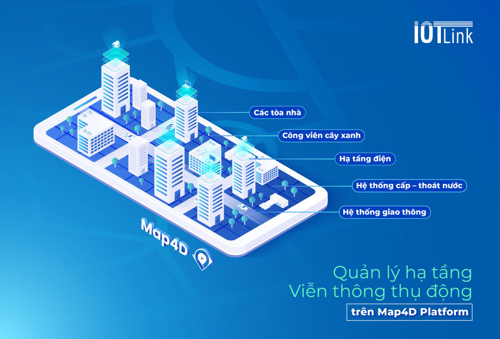
Passive telecommunications infrastructure management
Problems
- The telecommunications infrastructure equipment can also be understood simply as the equipment required in the internet connection.
- The internet connection is still not stable and secure.
- The clutter of 'shabby' infrastructure
- The clutter of telecommunications network wires "flashes"
- This situation not only wastes resources in society but also makes the face of the city unsightly.
- The management of assets is always a matter of concern at all levels and departments and is also a difficult problem.
Solution
Map4D is a digital puzzle platform that develops features and applications of Infrastructure Management - Passive Telecommunication, providing an optimal management solution for infrastructure groups:
- Green park group
- Electrical infrastructure: electrical diagrams, equipment...
- Water supply and drainage system
- Information about buildings: location, area, structure…
- Transportation system in the area
Not only providing huge data volumes of POIs, locations, roads, works, projects... but also integrating with many platforms and technologies to develop applications for effective management of asset infrastructure, in which have passive telecommunications.
- Determine the exact position of the system of pillars and stations
- Manage the history of formation and maintenance of each object
- Provides detailed information about object characteristics
- Visualize asset layers with 2D, 3D, and 4D . images
- Quickly extract real-time reports
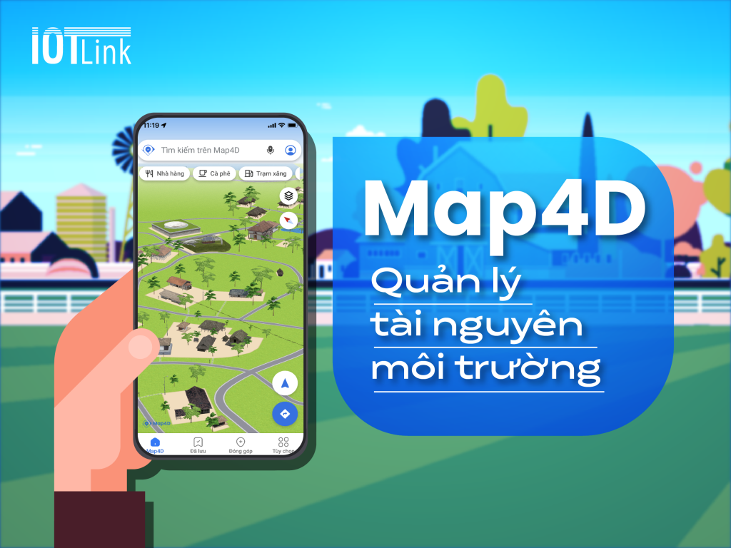
Government solutions in environmental resources
Problems
- The need to manage environmental resources is one of the important issues today.
- Land resources need to be managed, planned and developed closely.
- Water resources need to have a system to manage and treat wastewater systems.
- Mineral resources need to be fully informed and properly exploited.
- Protecting environmental resources contributes to sustainable development, it is necessary to minimize negative impacts on the environment.
Solution
On the basis of the application of modern science and technology, smart cities aim at sustainable development, improving the living quality of residents, and effectively using resources.
With basic APIs, Map4D is both a smart digital map application and a technology platform that can easily manage and develop environmental resources.
- Resource allocation management and mining
- Status Management
- Monitoring climate change and land use
- Environmental planning management
In short
Government solution with 4D digital map is one of the unique solutions, efficient operation and cost optimization. Map4D Platform provides solutions with APIs/SDK technology for best deployment management.