Bản đồ số Việt Nam ngày càng phát triển. Chính phủ đã ban hành Nghị quyết số 40/NQ-CP vào ngày 27/3/2023, phê duyệt Chiến lược để phát triển ngành Đo đạc và Bản đồ Việt Nam. Song đó xây dựng hạ tầng dữ liệu và không gian địa lý quốc gia đến 2030, tầm nhìn đến 2045.
Table of contents
ToggleSurveying and Cartography will become a modern basic survey by 2045
With the view of developing Vietnam's surveying and cartography industry to meet the requirements of state management. Along with that, socio-economic development, ensuring security, national defense, community, improving people's knowledge, people's life and international integration.
An important and fundamental foundation is the development of the national geospatial data infrastructure. Provide for many professions, many different fields of geospatial data services. To meet state management requirements, serve digital transformation, build and move towards digital government, digital society, digital economy and smart city.

Investment priorities for surveying and cartographic tasks
- Serving the socio-economic development planning.
- Troubleshooting environmental problems, responding to climate change.
- Disaster prevention and control, rescue and rescue.
- Ensuring national defense and security.
- Research, apply and develop modern surveying and mapping technology.
Secure 100% geospatial data to connect, share across the country
By 2030 with the goal of perfecting legal institutions and policies on surveying and cartography.
Building and updating a database on the basis of geography and the system of national maps in general, and digital maps of Vietnam in particular, in a unified and synchronous manner, both on the mainland and in the sea and islands of Vietnam.
Accurately, fully and promptly update the requirements of the state management department (ministries, branches, localities)
Serving socio-economic development. Ensuring national security. Responding to climate change and disaster prevention.
Construction and completion of measurement infrastructure include:
- National coordinate network.
- National network of satellite positioning stations.
- National Altitude Network.
- National Gravity Network.
- Geoid model establishes reference system, national spatial coordinate system to be unified on land and sea.
Building and managing national spatial data infrastructure needs to:
- Ensure the integration and sharing of data between agencies and departments, between central and local governments.
- Serving the construction of e-Government, towards digital government, digital economy and digital society.
- Join and connect to the regional geospatial data infrastructure network.
- Ensure 100% geospatial data connection, sharing across the country.
- Serving to provide information and public services to organizations and individuals.
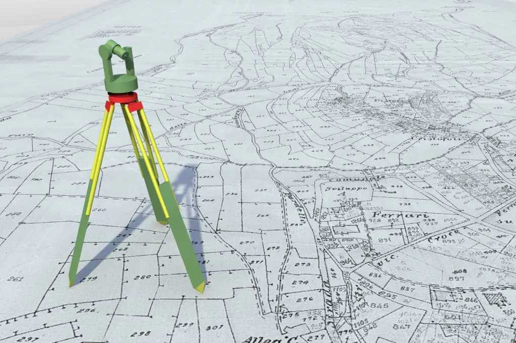
10 tasks and solutions to achieve the goal
- Completing institutions, policies and laws on surveying and cartography.
- Develop and complete a system of standards and technical regulations on data, surveying and mapping products to ensure synchronization, accuracy, and convenience for common use.
- Finalize and publish data of national metrological networks.
- Building and updating the national geographic database.
- Surveying, establishing specialized maps.
- Building national geospatial data infrastructure.
- Innovating the management, improving the efficiency of exploitation and use of information, data, surveying and cartographic products.
- Scientific research, technology application and development, international cooperation in surveying and cartography.
- Training and fostering human resources to meet the development of the surveying and cartography industry.
- Renovating the mechanism for implementing surveying and mapping tasks; innovation, building economic - technical norms.
The above tasks and solutions will help build and develop the Surveying and Mapping industry. Perfecting super standard from systems, processes, techniques, data, methods, services. Promoting the development of Vietnam's digital map

Building Vietnam Geospatial Portal
Building and updating national geographic database and national topographic map
- Covering the mainland, islands and archipelagos.
- Topography of the seabed in the waters of Vietnam.
- Serving the mapping work.
Built according to the geospatial data center model. Ensure linking and unified management of geospatial databases through access addresses on the Internet.
- Capable of connecting and synchronizing with the National Data Portal.
- Developing data services through Vietnam Geospatial Portal.
- Creating institutions, renewing mechanisms for implementing surveying and mapping tasks.
- Creating a favorable environment for businesses to innovate and create.
- Providing products and solutions for Vietnam digital surveying and mapping towards the digital economy, digital society...
- The development of digital map technology today
- By 2045, Surveying and Cartography will become a modern basic survey
