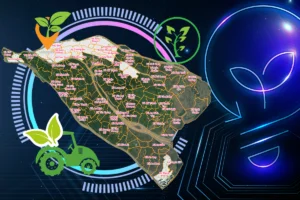
Resource maps show viewers the resources available in a particular area. Understand the types of minerals and the world of natural vegetation on the Earth's surface. Find out more details with IOTLink through the article below.
What is a resource map?
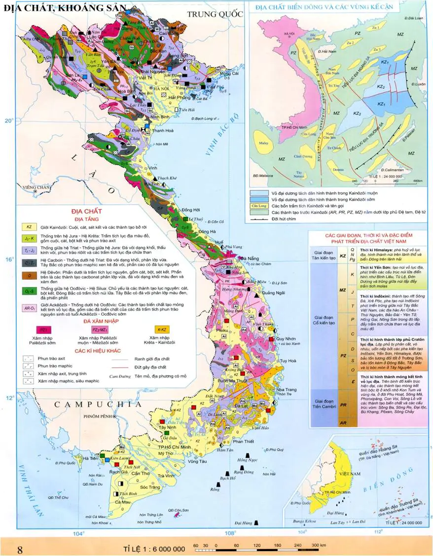
Resource map is a tool that shows the location of minerals, places, etc. in a specific area on the chart. Information includes:
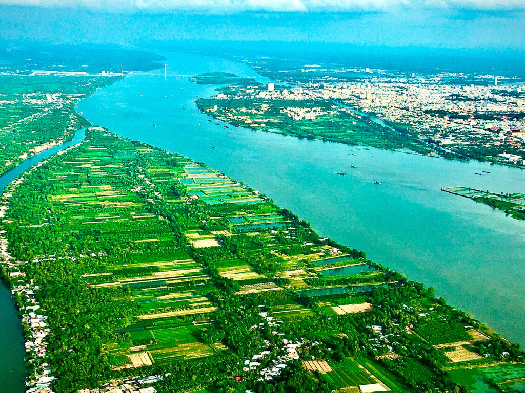
- Natural resources: land, water, mountains, forests, terrain, animals, etc.
- Man-made resources: roads, bridges, culverts, etc.
Resource maps are useful in mineral management and in orienting economic and social development in a particular area.
Provides users with an overview of available resources and infrastructure. From there make smart decisions to use and protect that resource.
What are the benefits of resource maps?
Efficient resource management
Know the location of natural resources and man-made resources. Determine the exact location of forest, soil, water, and animal resources. Help manage, protect, exploit and use effectively and sustainably.
Monitor resource status
The map shows resource status information. Viewers are aware of those resource changes. From there, provide reasonable exploitation measures or effective protection.
Social economic development
Not only providing resources but also infrastructure. Get an overview of development information. From there, methods and orientations for socio-economic development are proposed in the future.
Information support for practical activities
Resource maps provide information for activities such as planning, analysis, research, monitoring, education, and referral.
Resource map application object
Resource management
- Target audience: resource managers, business organizations related to environmental resources, governments.
- Purpose: manage and use resources efficiently and sustainably.
Environmental management and wildlife conservation
- Subjects: organizations and individuals operating in the field of wildlife conservation, nature reserves, government agencies.
- Purpose: monitoring and protecting wildlife environment.
Geography and geography
- Target audience: government agencies, departments and agencies, cadastral service enterprises.
- Objective: to identify and present geographical and cadastral information.
Urban planning and development
- Audience: government organizations and agencies involved in urban planning and urban development.
- Objective: map of resources used in urban planning and urban development.
Education
- Target audience: universities, high schools and educational and training organizations.
- Objective: to introduce natural and man-made resources to schoolchildren and students.
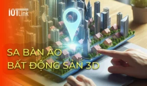
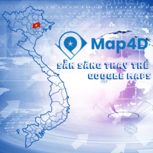
Project Management on Map4D . Digital Map
If you put the project's resource objects on Map4D is a smart management method. Map4D platform is a 2D, 3D, 4D digital map platform (displaying 3D images in time dimension). In addition to rendering objects in intuitive and vivid 3D, the Map4D platform also allows connecting and sharing data on many different platforms, thereby creating new applications according to the specific requirements of each business. industry, government.
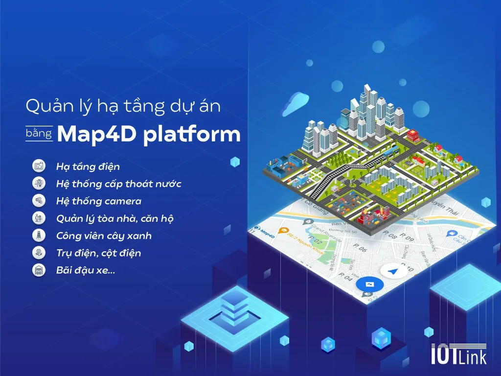
Resource management on the Map4D platform helps businesses, managers, and governments always know the quantity, location, scale, status, etc. Real-time knowledge, extract information at any time of resources in particular and objects on the map in general.