Smart urban planning with Map4D
Smart city is understood as urban development on the basis of advanced science and technology. Create many new services and make better use of the database towards the highest goal of prosperity, sustainability and good service to people's lives.
Data is an important factor, determining results in smart city development. Map4D constantly updating data and allowing information to be displayed in the form of numbers and letters. And especially the 3D visualization in the time dimension.
Analysts adopted Map4D there will be enough information to evaluate the planning objects and areas from overview to details. After analyzing the objects, experts can directly build urban infrastructure on Map4D before deploying in reality.
This saves time and costs. It also brings high efficiency, avoiding the case of both building and fixing errors.
Modern urban planning management solution
Urban infrastructure management in smart cities is also an important requirement. Also through Map4D, the Government can monitor to promptly change and fix technical infrastructure problems towards sustainable development.
Complete and accurate database combined with modern technologies in measuring and capturing 360-degree images in real time. Map4D is a compass in the development direction of smart urban planning.
- Provide tools to systematize the planning database.
- Provide urban technical infrastructure management software.
- Provide information on planning and management of technical infrastructure based on GIS.
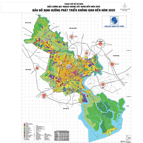
HCMC urban planning
MAP4D
Accurate compass in smart urban planning
Development orientation for future urban planning solutions:
- Orientation for planning management on 3D maps, construction permit management goals.
- Limit the height of the building, detect the construction of the wrong with the planning based on 3D data.
- Orientation to integrate satellite images by period, detecting mistakes in construction
- Orientation to build the planning database according to the time dimension.
ACCURATE DATA, CONFIDENTIAL INFORMATION
SMART CITY PLANNING ON MAP4D


