Real estate map is a tool to put project objects in the real estate field on the map. This is a smart method that is no longer strange to leading countries in technology. However, in Vietnam, many people still do not know about it. To clarify this method, let's learn map-related knowledge with IOTLink in the field of real estate!
3 core types of real estate maps
A map is an exact thumbnail of the objects contained in an area, a country, or the Earth. It is a tool to properly determine the factors of location, topography, area, current status, etc.
There are 3 types of land-related maps that everyone must know to understand.
Current map, location
This type of map shows two characteristics of a real estate project: "status" and "location".
- Status: Shows the condition of the land at the time of drawing.
- Location: Shows the location of the land, accompanied by a coordinate table called Corner coordinates.
Planning map
This type of map shows the planning status in an area at different scales. With this map shows time information (short or long of the project). Or the features of that land (water supply and drainage network, traffic, electricity network, ...)
Cadastral maps
In the planning map showing drawings of many land plots, the cadastral map only concentrates information of one land plot.
>> View details Types of maps in real estate
Real estate industry difficult to reach customers?
With the rapid development, people often find information very easily with countless approaches. Particularly in the real estate sector, there are many cases where customers feel annoyed every time telesale calls to offer projects. Or emails sent periodically to non-potential audiences. The cost of running high advertising is not very effective.
And then unconsciously, customers gradually lose sympathy for the real estate field. So how can you reach customers? How do customers understand the scale of the project? And the future development of the project?
What are the benefits of high-tech real estate maps?
What do you think if the real estate project is displayed on the map with visual images in 3D and in 4D dimension. From there, customers can see a lot of advantages that the project brings.

- Expanded 3D scale of real estate projects
- Details, transportation
- Full facilities (shops, markets, hospitals, schools, ...)
- Show the past, present, and future of the project.
- Anyone can view real estate projects, anytime, anywhere.
What customers need is full information of the project they are interested in. From there to make investment decisions.
Putting the project on a digital map displayed in 3D and 4D is considered the most effective method of reaching potential customers. And IOTLink is the first science and technology enterprise to successfully develop a 3D and 4D digital map platform in Vietnam.
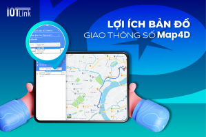
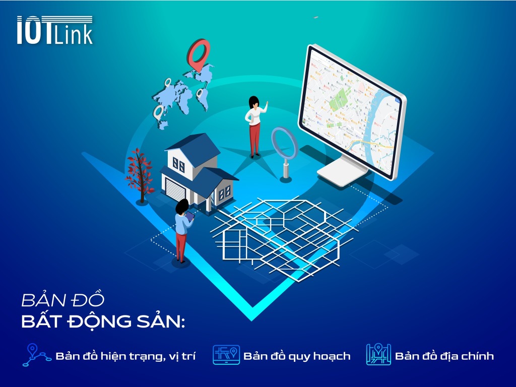
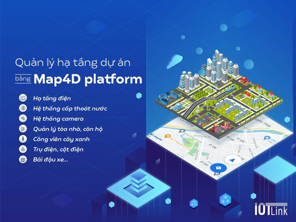
Improve infrastructure, approach customers with BDS Map4D
Full and detailed real estate project information. Accurate, complete 2D model data gives an overview of the project.
Especially the 3D image simulation feature on the map, users can access and tour every space throughout the project of the enterprise. Particularly for the Map4D map feature, allowing users to select a timeline (past, present, future) to see the changes of the project and the area. From there, provide panoramic and detailed views only on the map. Help customers understand information before making investment decisions.
Besides, businesses also save a lot of cost and time to deploy projects to customers. It is also possible to expand the file of potential customers when experiencing the map. And get the initiative of the customer.
In short
It is also providing information, but compared to the traditional method, putting the project on the map will give businesses more advantages. Businesses not only optimize costs but also enhance the ability to close sales. Since then, revenue growth, brand promotion, and competitive advantage have been enhanced.